16k Digital USA Map Flat
16k Digital USA Map Flat
Couldn't load pickup availability
16k Digital USA Map Flat
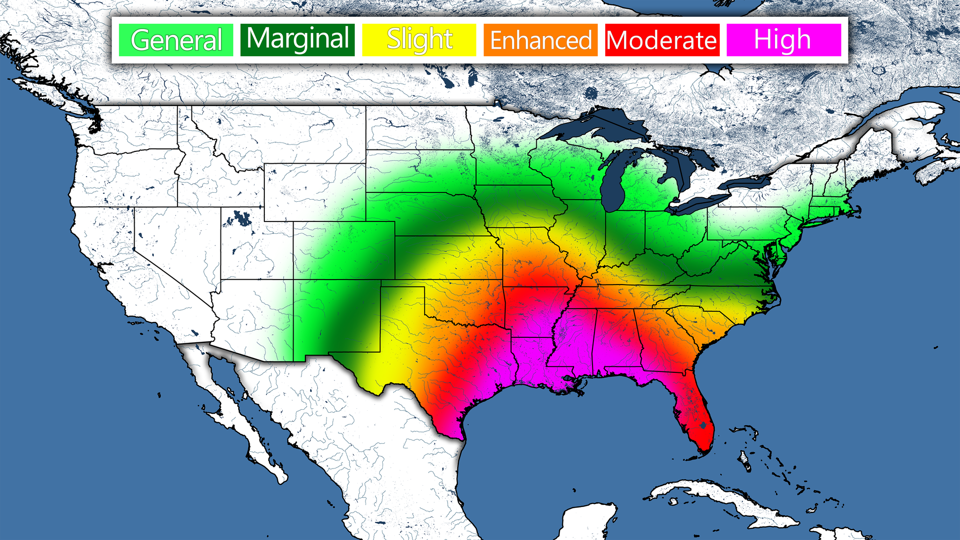
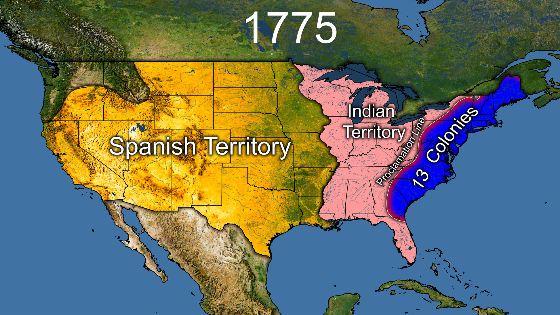
Seen on the YouTube channel Direct Weather!
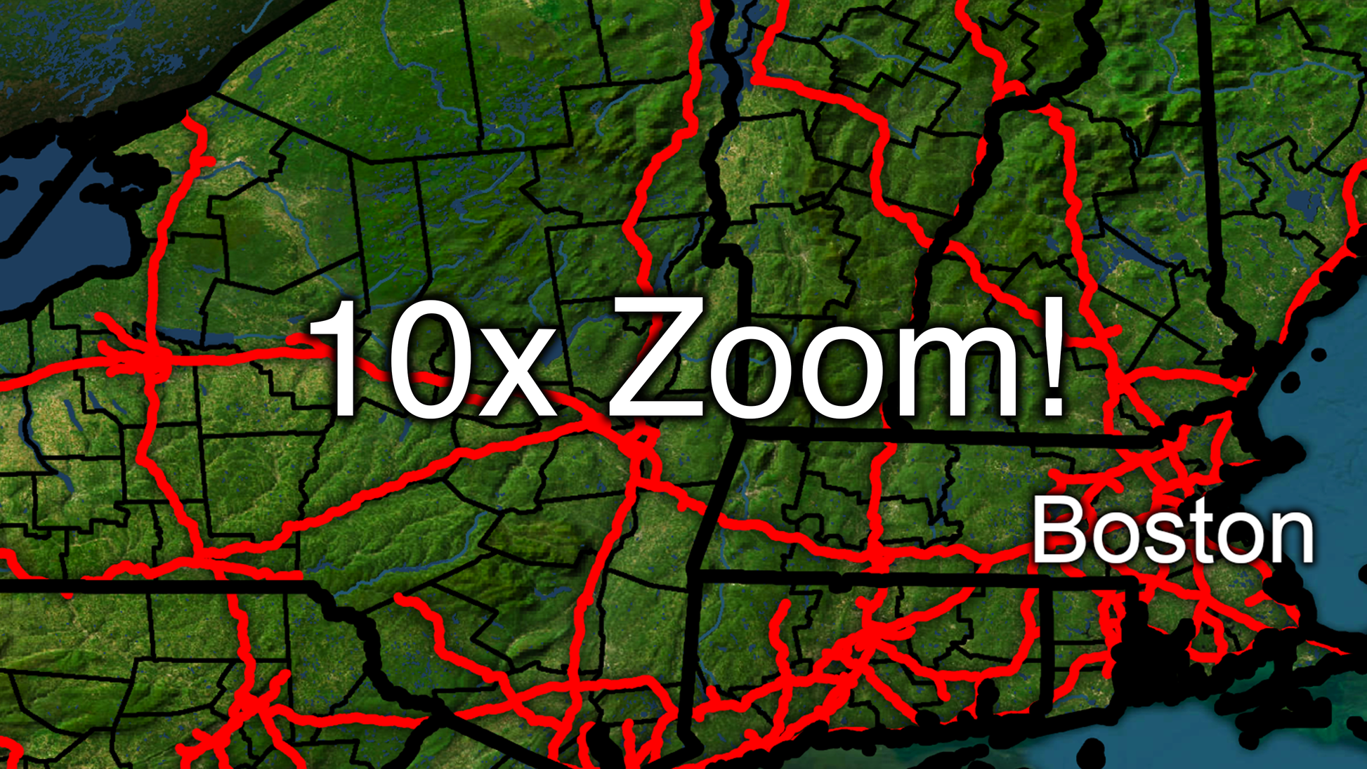
Unbelievable Definition
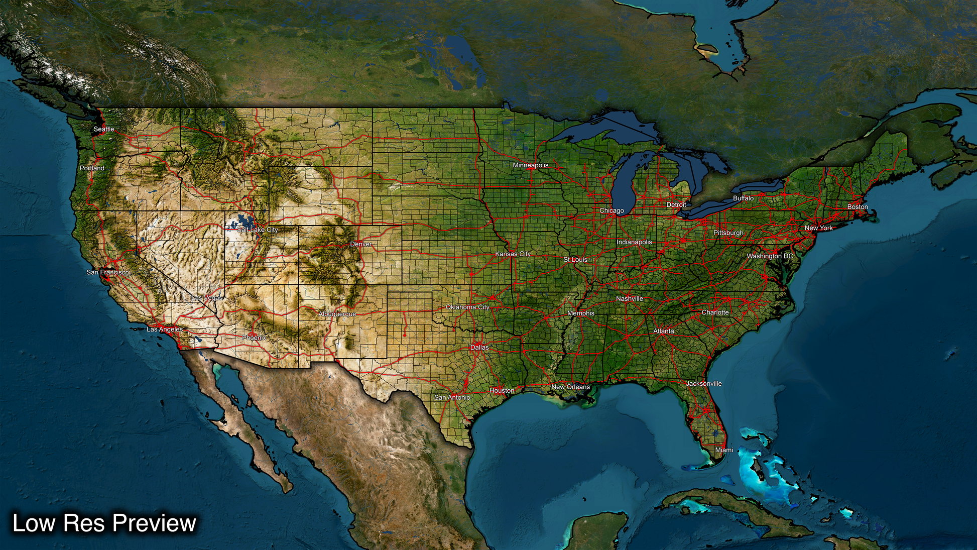
Get ready to impress your audience with the most advanced USA Map available now in breathtaking 16k resolution! With a massive size of 15360 pixels wide by 8640 pixels tall, you'll have plenty of room to showcase the most intricate details and zoom in on any location without losing clarity, even at 8k or 4k resolutions.
Unique Layering Method
Our maps are built from scratch and organized into layers, including state lines, county lines, major roads, Digital Topo Maps and more. This layering system makes our maps incredibly versatile because you can easily draw illustrations above or below any layer, allowing you to accurately and effectively present the information you need with groundbreaking precision.
Highly Compatible
Our Digital Map Products are available in PSD format (Recommended Format) and PNG format making our maps compatible with practically any software that lets you layer photos. Whether you use Adobe Photoshop, Microsoft Powerpoint, or other popular tools, you can easily incorporate our map into your projects and take your visual storytelling to the next level.
Full List of Layers:
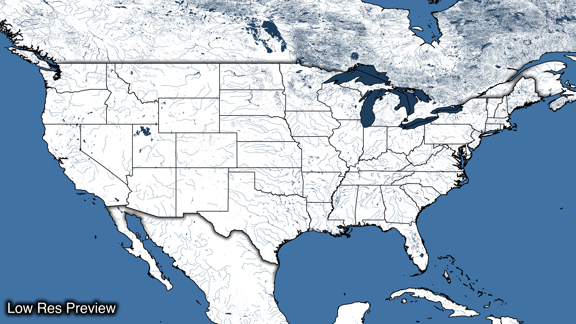
- White Base Map
- Satellite Base Map
- International Overlay
- White International Overlay
- Cities
- 5 Degree Graticules
- US State Lines
- County Lines
- Country Borders & Coast Lines
- Interstates
- Major Roads
- Lakes
- Shaded Relief
- Ocean Overlay
- Ocean Back Round
- White Base map Overlay
- Satellite Base map Overlay
Countless uses including:
- Educational Maps
- Historical Boundaries
- Weather & Climate Maps
- Geological Maps
- Archaeological Maps
- Sports Maps
- Tourist Maps
- Environmental Maps
- Military Maps
- Urban Planning
- Emergency Management
A flat version of our USA map, this projection is completely flat and accurately represents the distance between all locations. This version is best suited for projects where precise measurements and distances are necessary.
*Requires Photoshop or another photo layering program to fully utilize*


