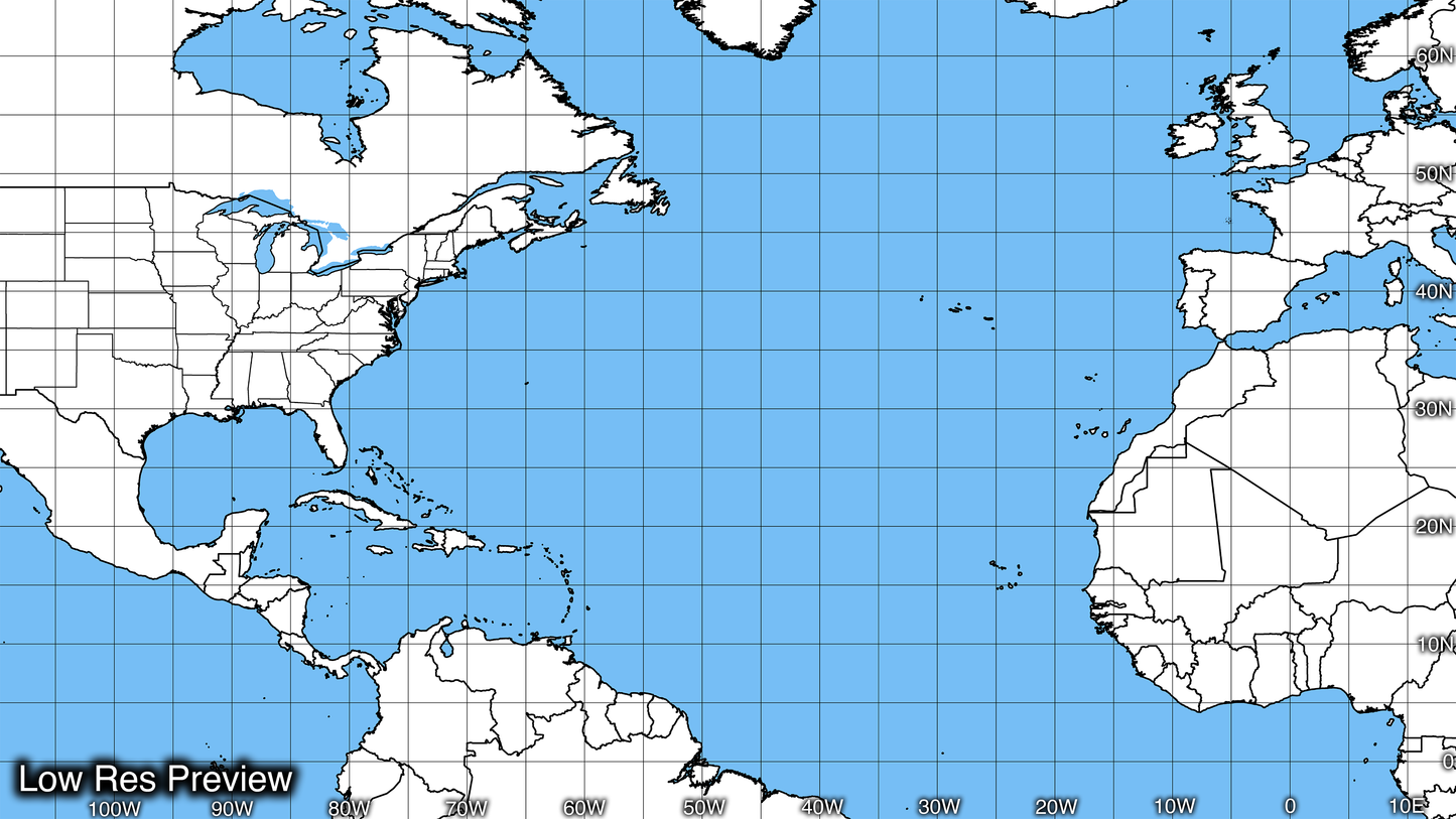
16k Digital Atlantic Hurricane Map
16k Digital Atlantic Hurricane Map
Couldn't load pickup availability
16k Digital Atlantic Hurricane Map
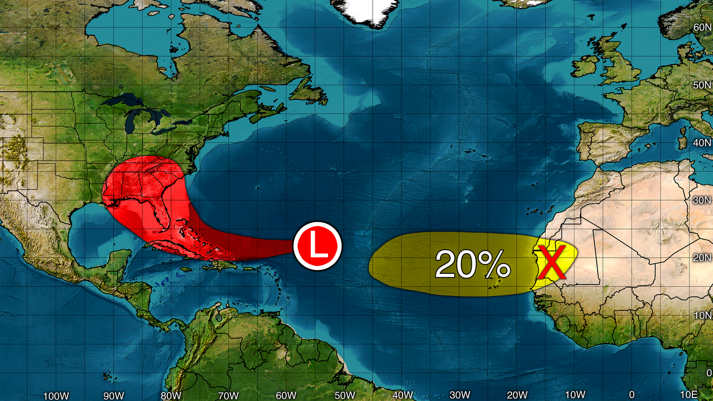
Seen on the YouTube channel Direct Weather! Print and use as a hurricane tracking chart at home or create the most cutting-edge, high-definition hurricane forecast maps using it!
Unbelievable Definition
Our maps are built from scratch and organized into layers, including state lines, county lines, major roads, Digital Topo Maps and more. This layering system makes our maps incredibly versatile because you can easily draw illustrations above or below any layer, allowing you to accurately and effectively present the information you need with groundbreaking precision.
Unique Layering Method
Our Digital Map Products are available in PSD format (Recommended Format) and PNG format making our maps compatible with practically any software that lets you layer photos. Whether you use Adobe Photoshop, Microsoft Powerpoint, or other popular tools, you can easily incorporate our map into your projects and take your visual storytelling to the next level.
Highly Compatible
Our maps are available in PSD format (Recommended Format) and PNG format making our maps compatible with practically any software that lets you layer photos. Whether you use Adobe Photoshop, Microsoft Powerpoint, or other popular tools, you can easily incorporate our map into your projects and take your visual storytelling to the next level.
Full List of Layers:
- White Base Map
- Satellite Base Map
- 5 Degree Graticules
- 5 Degree Graticule Labels
- Provinces & State Lines
- US State Lines
- County Lines
- Country Borders & Coast Lines
- Interstates
- Major Roads
- Lakes
- Shaded Relief
- Ocean Overlay
- Ocean Back Round
- White Base map Overlay
- Satellite Base map Overlay
Also comes with a printable chart in both a solid white and blue version or a beautiful satellite version!
*Requires Photoshop or another photo layering program to fully utilize*
Don't settle for anything less than the best when it comes to hurricane tracking and forecasting. Our map is the ultimate tool for businesses, researchers, and individuals who demand the highest level of accuracy and detail. Order now and see for yourself why our map is the gold standard in the industry!