16k Digital France Map
16k Digital France Map
Couldn't load pickup availability
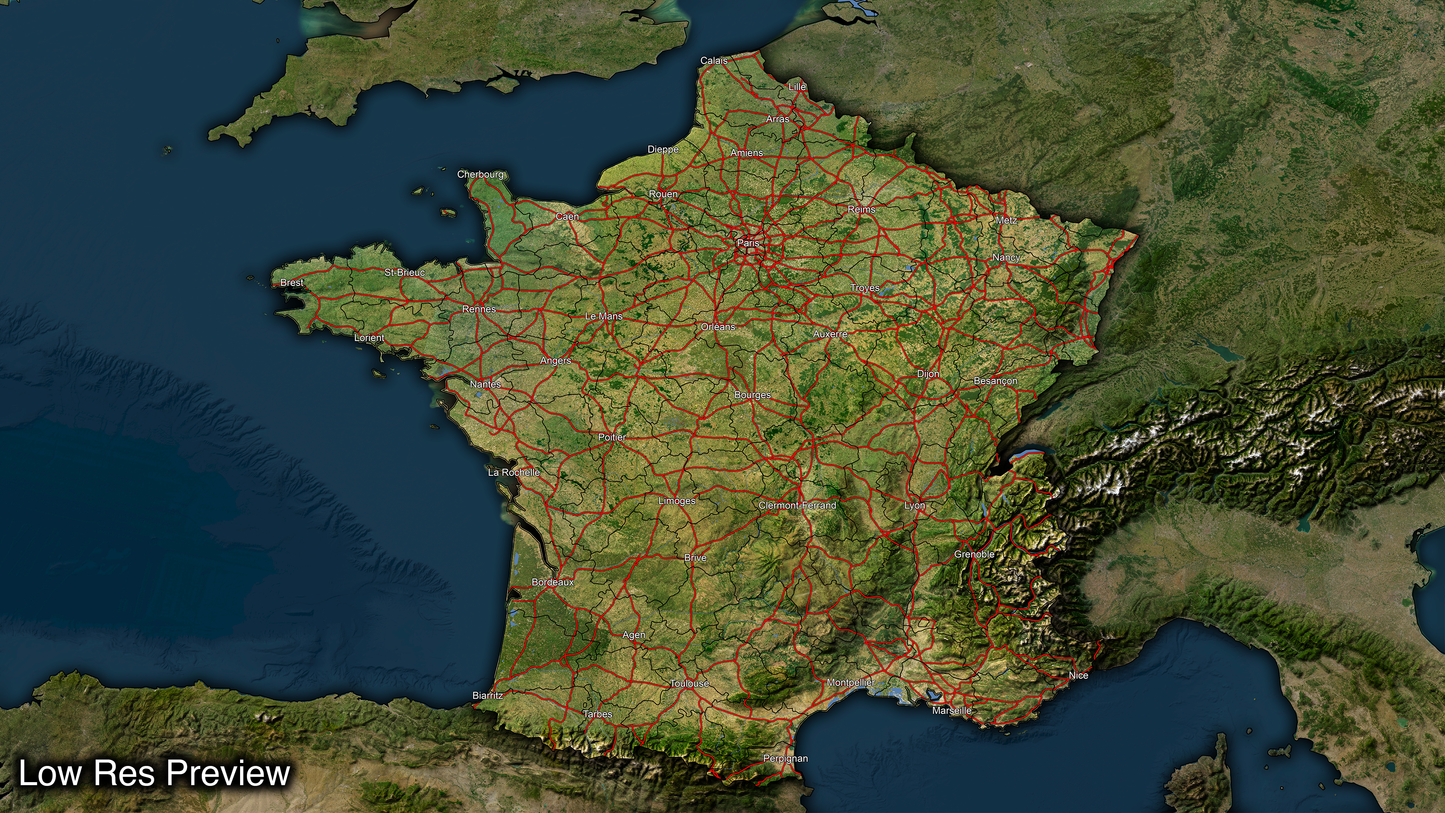
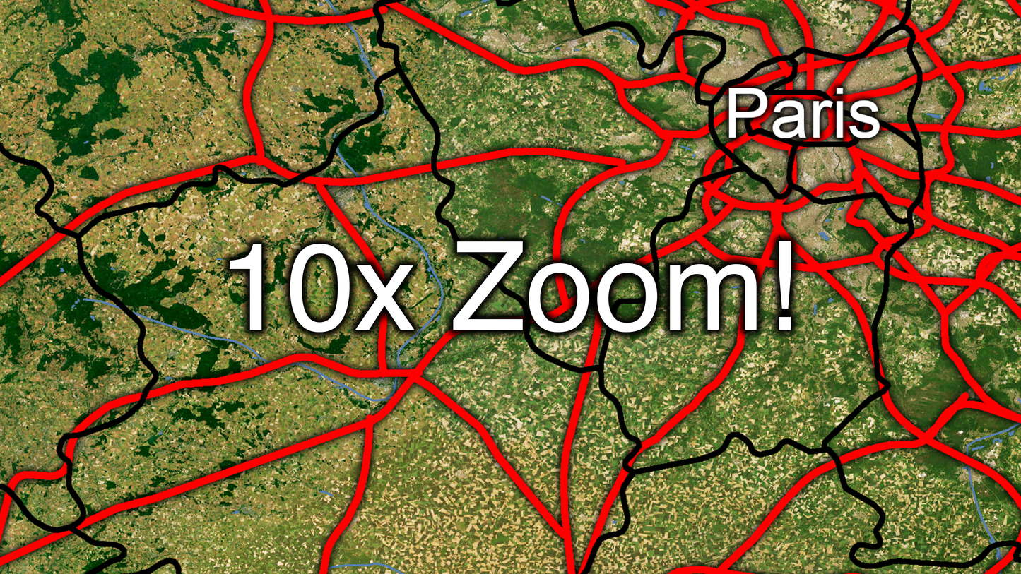
A full map of France at a stunning 16k resolution ( a staggering 15360 pixels wide by 8640 pixels tall! )
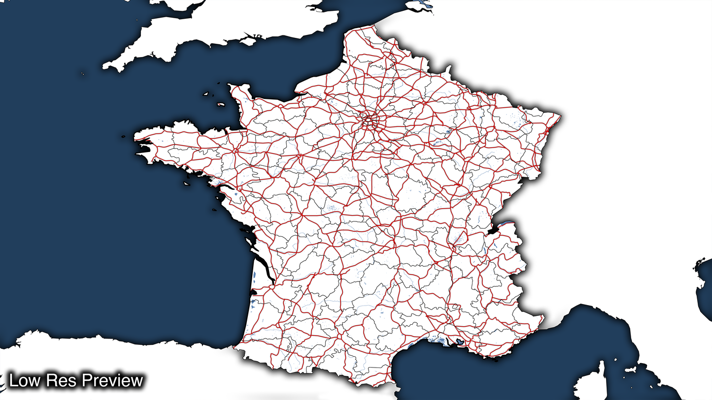
Our maps are built from scratch and organized into layers, including state lines, county lines, highways, and more. This layering system makes our maps incredibly versatile because you can easily draw illustrations above or below any layer, allowing you to accurately and effectively present the information you need with groundbreaking precision.
We offer the Highest Definition maps on the market. We match the quality with equal customizability and versatility.
Countless uses including:
- Educational Maps
- Historical Boundaries
- Weather & Climate Maps
- Geological Maps
- Archaeological Maps
- Sports Maps
- Tourist Maps
- Environmental Maps
- Military Maps
- Urban Planning
- Emergency Management
You will receive a fully customizable PSD version (Photoshop File.)
A PNG Version of each layer which will work in most photo editing programs that use layers.
Layers include -
- White Base Map
- Satellite Base Map
- Province Lines
- Major Roads
- Shaded Relief
- Cities
- Lakes
- Rivers
- Ocean Overlay
- Ocean Back Round
Share


